The Ri-Bhoi District was upgraded from the sub-divisional level on 14th June 1992. It has an area of 2,448 sq. km and a population of 2,55,840 (2011 Census),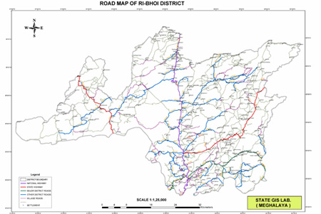 out of which 2,33,587 is in the rural areas . Rice is the main food grain grown in the district. The district also has immense potentiality for the development of horticulture. The variation of altitude, soil and climatic conditions provide ample scope from growing fruits ranging from Sub -Tropical to temperate varieties. Ri-Bhoi District is divided into 3(Three) Blocks with a total of 635 villages. out of which 2,33,587 is in the rural areas . Rice is the main food grain grown in the district. The district also has immense potentiality for the development of horticulture. The variation of altitude, soil and climatic conditions provide ample scope from growing fruits ranging from Sub -Tropical to temperate varieties. Ri-Bhoi District is divided into 3(Three) Blocks with a total of 635 villages.
|
